Map and places
Search places, arrange stops on the map, and open street-level imagery.
Read the trip map
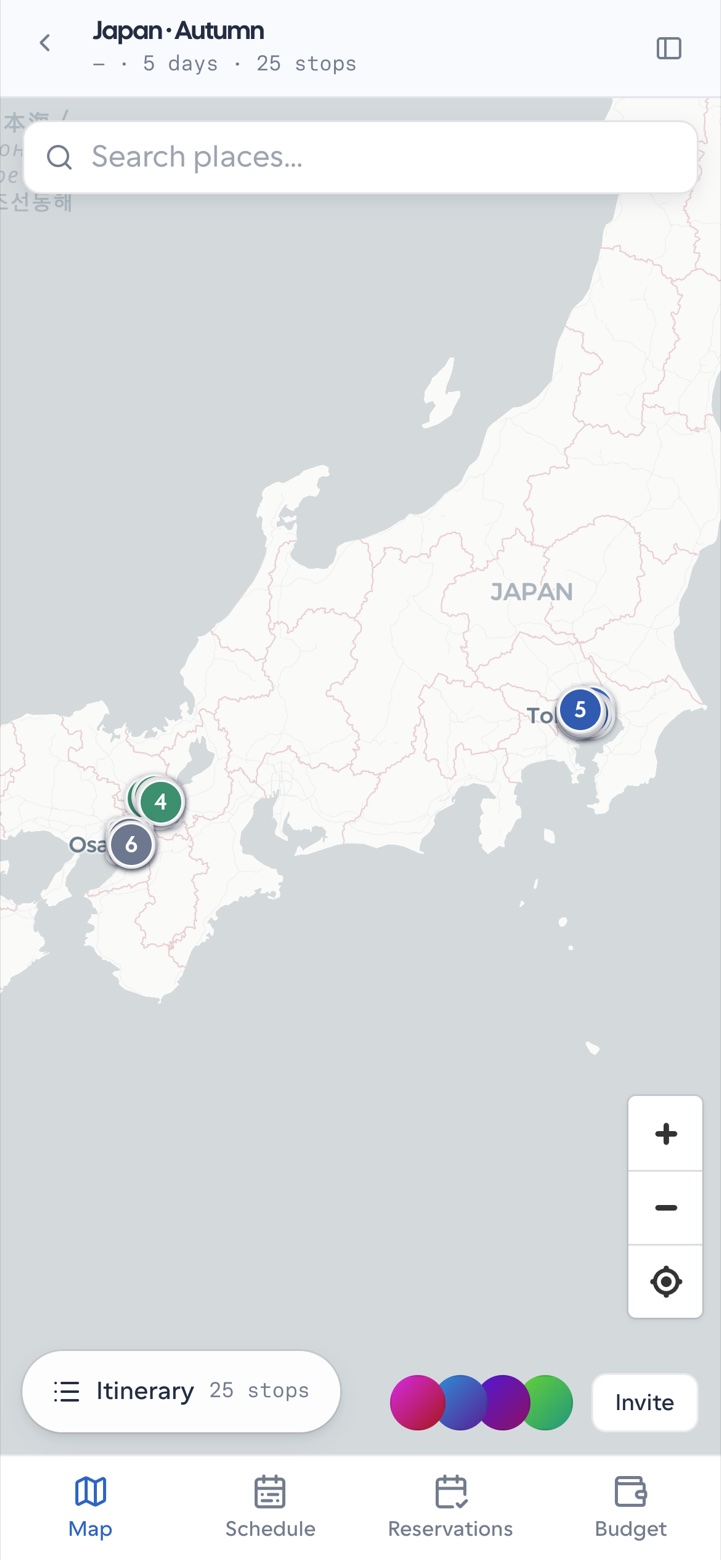
The map shows numbered stop markers and per-day routes. Select a marker to focus the stop and open its detail panel.
On mobile, the map mode uses a top search control and a floating itinerary pill; stop detail opens as a bottom sheet.
Search for a place
Use the map or schedule place search to find a destination by name. Pick a result to attach coordinates and a readable label to a stop. Prefer search results over free-typed coordinates so the group shares the same place.
Pick or adjust a location
When a stop needs a more precise pin, adjust the location from the map context instead of leaving a vague city-level point. Keep transport legs between cities explicit so routes stay honest.
Open street view
Where imagery is available for the trip:
- Select a stop or map context near the place you care about.
- Choose the street-view action.
- Browse the preview, then open the interactive viewer when you need to look around an entrance or street.
Street view helps the group recognize arrivals and meeting points. It does not replace a reservation or a stop note — capture booking facts and access codes where the rest of the plan lives.
The companion can also surface street-view cards in chat when you ask about what a place looks like. Review those cards the same way you review any AI suggestion.